Professional in Water, Space, Environment, Engineering Consulting & ResearchAqvaspace Sdn BhdProviding precise data, innovative solutions, and dependable expertise to support every stage of your project.Talk to an expertProfessional in Water, Space, Environment, Engineering Consulting & ResearchAqvaspace Sdn BhdProviding precise data, innovative solutions, and dependable expertise to support every stage of your project.Talk to an expertProfessional in Water, Space, Environment, Engineering Consulting & ResearchAqvaspace Sdn BhdProviding precise data, innovative solutions, and dependable expertise to support every stage of your project.Talk to an expertProfessional in Water, Space, Environment, Engineering Consulting & ResearchAqvaspace Sdn BhdProviding precise data, innovative solutions, and dependable expertise to support every stage of your project.Talk to an expertProfessional in Water, Space, Environment, Engineering Consulting & ResearchAqvaspace Sdn BhdProviding precise data, innovative solutions, and dependable expertise to support every stage of your project.Talk to an expert
Revolutionizing Agriculture Through Innovation
Dive into a world of possibilities where traditional farming meets modern solutions.
Explore Sustainable Agricultural Solutions and Cutting-edge Technologies.
Many desktop publishing packages and web page editors now use Lorem Ipsum as their default model text, and a search for ‘lorem ipsum’ will uncover many web sites still in their infancy.
Our Solutions
0+
Years Of
Experiences
Richard McClintock, a Latin professor at Hampden-Sydney College in Virginia, looked up one of the more obscure Latin words, consectetur, from a Lorem Ipsum passage, and going through the cites of the word in classical literature, discovered the undoubtable source. Lorem Ipsum comes from sections 1.10.32 and 1.10.33 of "de Finibus Bonorum et Malorum" (The Extremes of Good and Evil) by Cicero.
Our Story
Richard McClintock, a Latin professor at Hampden-Sydney College in Virginia, looked up one of the more obscure Latin words, consectetur, from a Lorem Ipsum passage, and going through the cites of the word in classical literature, discovered the undoubtable source. Lorem Ipsum comes from sections 1.10.32 and 1.10.33 of "de Finibus Bonorum et Malorum" (The Extremes of Good and Evil) by Cicero.
Our Mission
Richard McClintock, a Latin professor at Hampden-Sydney College in Virginia, looked up one of the more obscure Latin words, consectetur, from a Lorem Ipsum passage, and going through the cites of the word in classical literature, discovered the undoubtable source. Lorem Ipsum comes from sections 1.10.32 and 1.10.33 of "de Finibus Bonorum et Malorum" (The Extremes of Good and Evil) by Cicero.
Our Vision
About Us
Join us on our mission to eliminate errors in healthcare training.
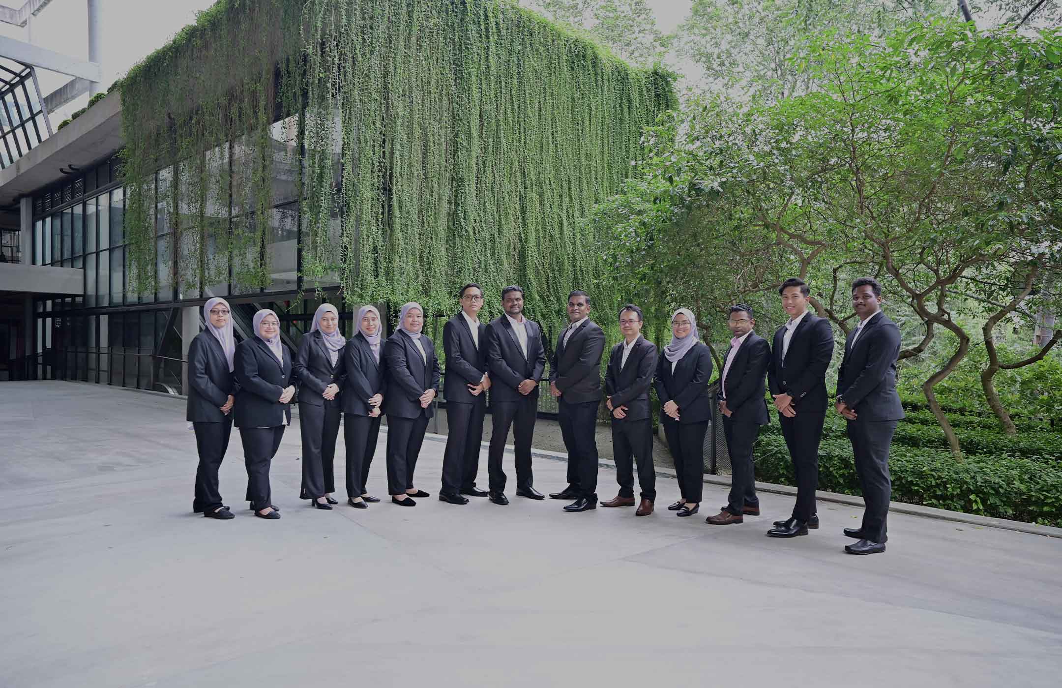
Aqvaspace Sdn. Bhd. is a trusted marine and geospatial consultancy delivering precise, reliable, and innovative solutions across surveying, engineering, and environmental projects. Backed by advanced technology and a team of experienced specialists, we provide end-to-end services—from data acquisition to analysis—ensuring every project meets the highest standards of accuracy and quality.
Healthcare Training
Vr.Health is committed to pioneering innovation in healthcare training through the use of Virtual Reality.
Our core business focuses on delivering accurate, reliable, and innovative solutions across surveying, geospatial, and engineering services.
Hydrography Survey
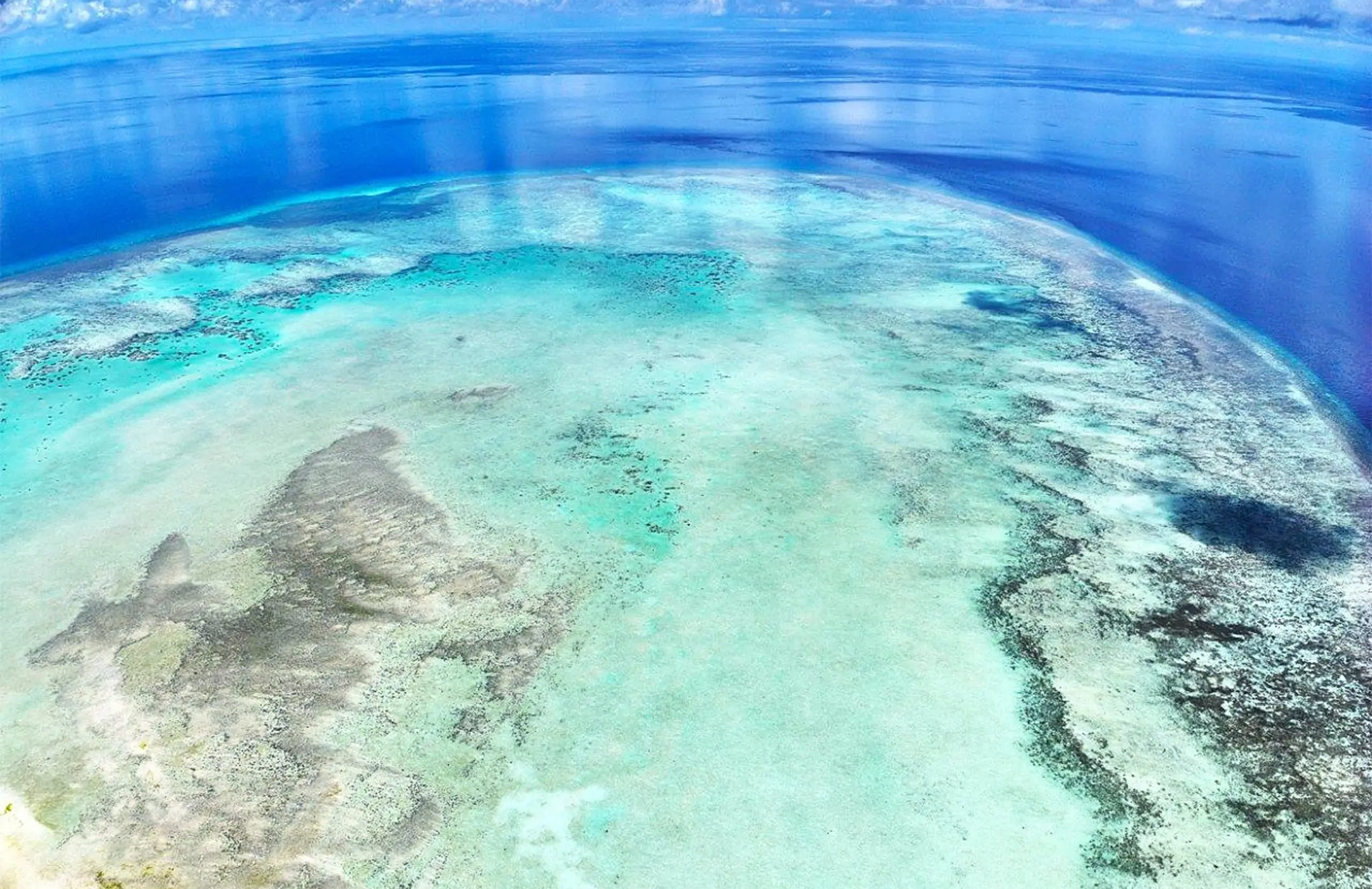
We specialize in hydrographic survey services for seabed mapping, coastal projects, and offshore works. Our services include SBES, MBES, Side Scan Sonar, Sub-Bottom Profiling, and Magnetometer Surveys.
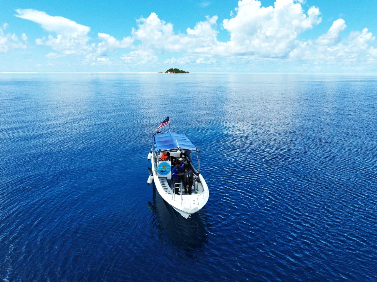
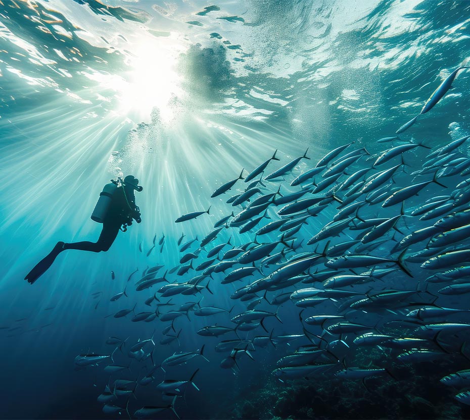
We provide oceanographic survey services for coastal, marine, and environmental studies. Our services include water level, current and wave measurements, water quality profiling, grab sampling, and sediment coring.
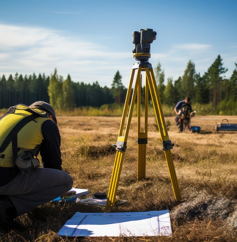
We offer land survey
services for infrastructure, flood mitigation, river, and engineering projects.
Our services include topographic surveys, existing structure surveys, river
cross and long sections, and alignment surveys.
AqvaSpace Sdn Bhd became ISO 9001 certified, demonstrating our commitment to quality and customer satisfaction. As a 100% locally owned company, we are dedicated to providing top-notch services to our clients.